
See the world in higher resolution.
Spectrum Global Solutions transforms LiDAR, mobile mapping, UAV and photogrammetric data into precise, production-ready spatial intelligence for infrastructure, mobility, terrain and mapping programs.
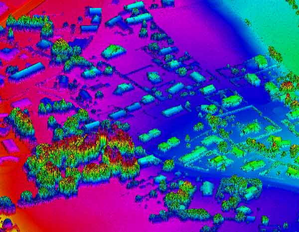
Four disciplines.
One spatial pipeline.
The work begins with complex raw captures and ends with structured spatial outputs that can move directly into GIS, engineering, planning and decision workflows.
Point-cloud intelligence
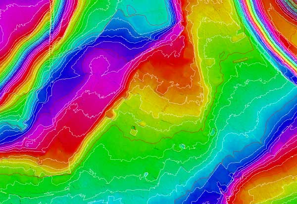
Classification, terrain models, breaklines, contours and corridor mapping.
Mapping in motion
High-volume feature extraction from sensor-rich mobile mapping platforms.
Aerial data workflows
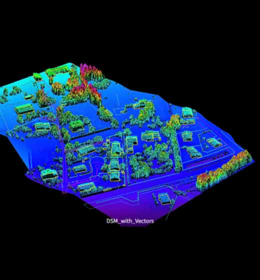
Orthophotos, UAV LiDAR classification and high-resolution site mapping.
Pixels to models
Imagery transformed into measurable terrain, 3D and mapping outputs.
A delivery model built to cross time zones.
Structured production, staged QA and responsive communication help international project teams keep spatial programs moving without turning coordination into another project.
Resources can expand across shifts as volume and deadlines evolve.
Quality gates are built into production, not left to final delivery.
Scope, formats and standards are aligned before production begins.
A support model suited to geographically distributed stakeholders.
From raw capture to acceptance-ready output.
Define
Align source data, standards, accuracy, output format and acceptance criteria.
Engineer
Build the production workflow around trained operators and fit-for-purpose tools.
Validate
Run staged checks and targeted QA throughout the processing cycle.
Deliver
Release structured outputs ready for downstream GIS, planning or engineering use.
Common project questions.
Straight answers for teams evaluating a geospatial production partner.